Up until now, UgCS users have relied on two altitude types - AGL (above ground level) and AMSL (above median sea level).
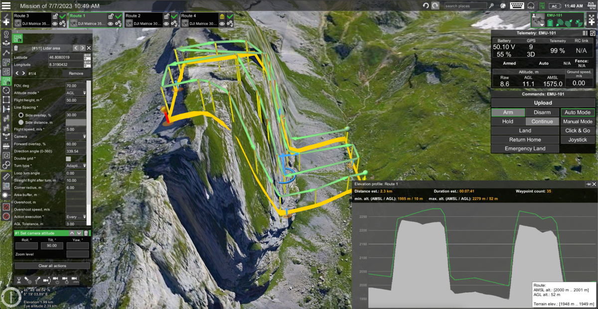
While AGL has been the primary algorithm for terrain following, one of the drawbacks of AGL algorithm can be seen when attempting to fly up steep surfaces. The waypoints are placed at a constant altitude above ground level. However, this distance is measured only vertically. When flying up steep hills, the drone may reach a point where it gets too close to the vertical surface.This is where the new Smart AGL algorithm comes in.
Precision in Maintaining Distance to Terrain Ahead
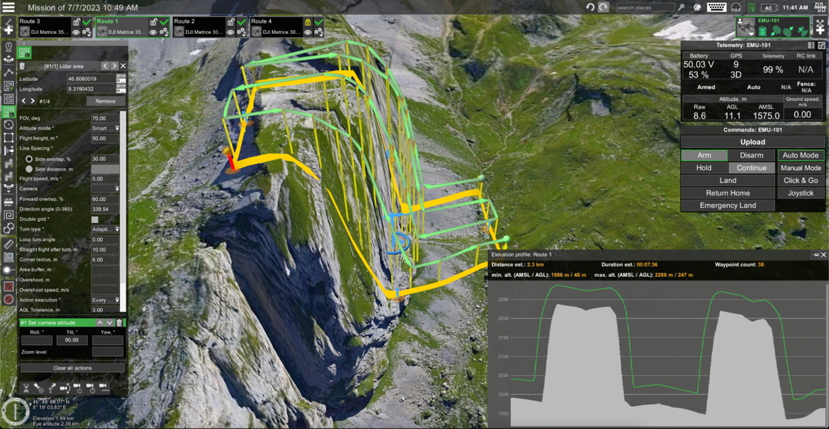
Instead of setting all waypoints at a constant altitude on the elevation model, Smart AGL increases waypoint altitude where necessary to ensure that constant distance is maintained to the terrain ahead. Smart AGL is capable of keeping an exact distance to the nearest surface, while normal AGL only takes into account vertical distance to the ground. Below you can see a comparison of both algorithms in an extreme case of flying up a near-vertical cliff.


But there’s more
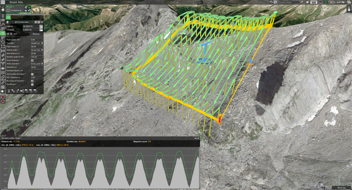
Smart AGL functionality alters the handling of side movements in area scan missions and overshoot segments. Now side movements also incorporate Smart AGL terrain following when moving uphill. This helps to prevent dangerous situations when the drone might get too close to the terrain when the distance between survey lines is longer. When moving down the hill, side movements will keep the flight level to optimize battery usage.

To Summarize
Smart AGL brings important improvements related to flight safety as well as collected data accuracy, ensuring a more consistent distance to the terrain. This feature is especially critical for all drone pilots flying automated missions in mountainous regions where having an excellent terrain following algorithm is essential.
Note: Smart AGL terrain following algorithm is available in UgCS EXPERT and ENTERPRISE licenses.


